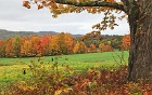
123 / 162
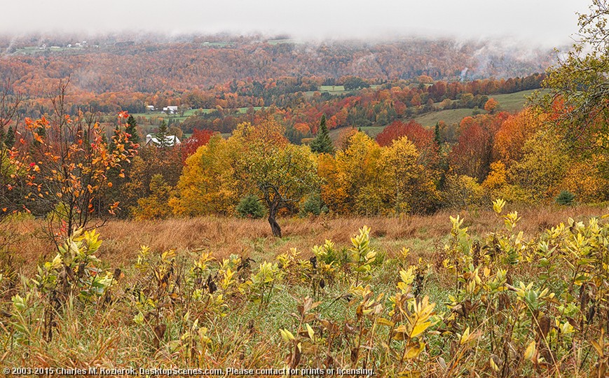
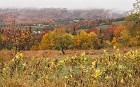
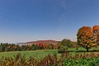
Almost at Cloud Level
This layered scene shows milkweeds and smaller trees in the foreground, with a small farm in a valley behind, and then a mountain ridge that forms a boundary of sorts between central Vermont and the Northeast Kingdom. This image was taken from Dubray Road in Cabot, at nearly 2,000 feet of elevation; on this wet day, that was enough to put us almost at the level of the clouds.